Understanding Greely’s boundaries
Greely’s community and planning boundaries differ. Check the City’s map and property-specific servicing information when comparing locations.
Greely is a rural village in the southern part of the City of Ottawa, Ontario. It was part of Osgoode Township before municipal amalgamation in 2001. The City’s community design work followed substantial village growth and established a framework for land use, roads and greenspace. Daily services include the library and community centre on Meadow Drive, Foodland on Bank Street and a pharmacy on Parkway Road.
Updated · Facts on this page link to their sources
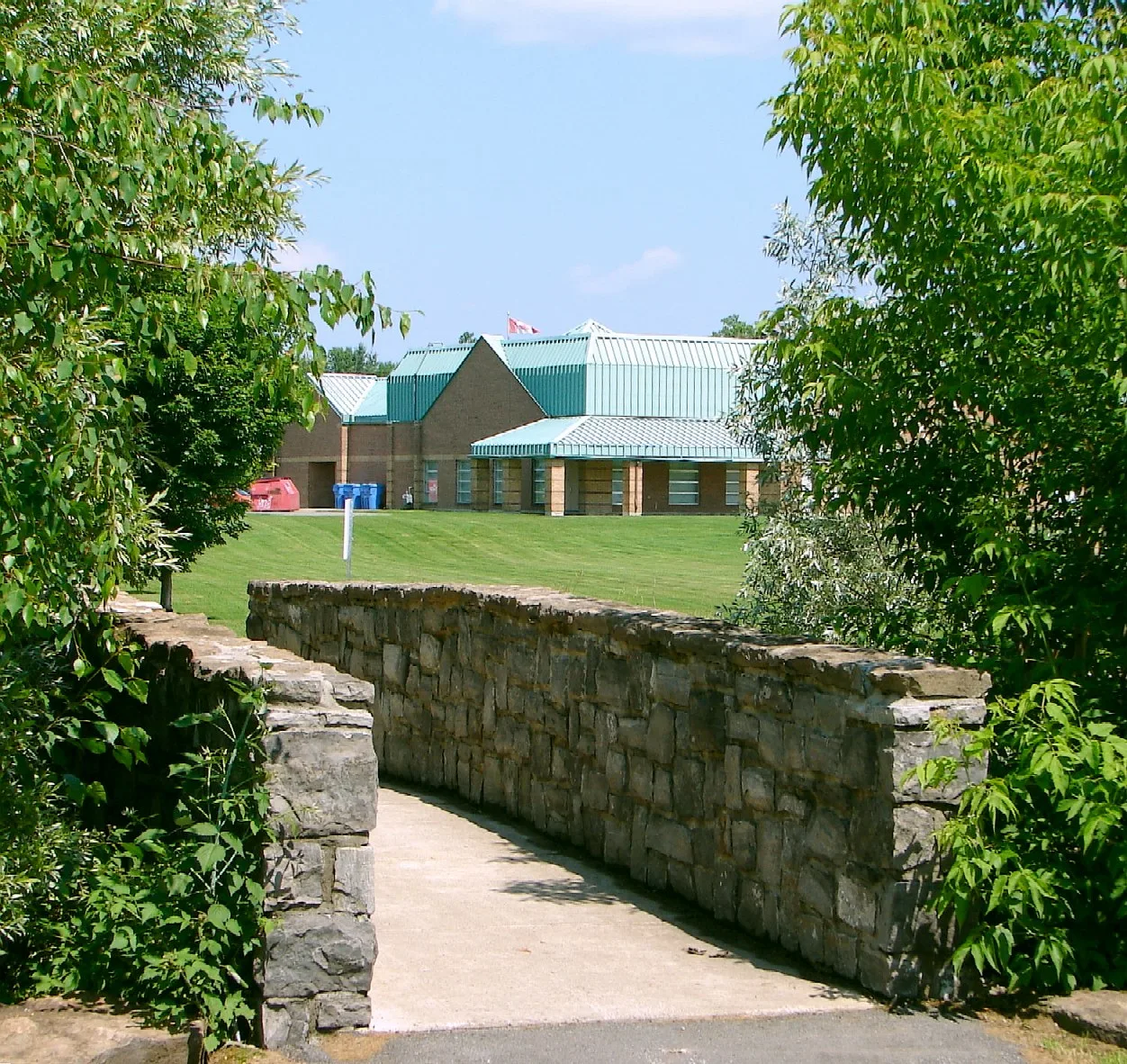
Greely ON. Photo: P199, CC BY-SA 3.0, via Wikimedia Commons 01Greely
Explore Greely’s schools, parks, village services and connections to Ottawa.
Definitions vary: a Greely Community Association boundary reported by Wikipedia uses Mitch Owens Road to the north, Manotick Station Road to the west, Snake Island Road to the south, and Sale Barn Road and Grey’s Creek Road to the east. The City’s separate village planning boundary appears in Schedule A of its secondary plan.
Quick answers
Short answers first; each links to the full answer and its sources.
Where is Greely?
Greely is a rural village in the southern part of the City of Ottawa, Ontario. It is in Osgoode Ward, also called Ward 20.
As of 2026-10-30 · documents.ottawa.ca geonames.nrcan.gc.ca
What are homes like in Greely?
Detached houses are the main housing form identified in Greely’s secondary plan. The plan also provides for some other ground-oriented housing under specific servicing and location conditions.
As of 2026-10-30 · documents.ottawa.ca
Where does Greely start and end?
A community definition reported by Wikipedia extends between Mitch Owens Road and Snake Island Road, with Manotick Station Road on the west and Sale Barn Road and Grey’s Creek Road on the east. The City separately maps its village planning boundary, so the definition used matters.
As of 2026-10-30 · en.wikipedia.org documents.ottawa.ca
What distinguishes Shadow Ridge from other parts of Greely?
Shadow Ridge has a communal drinking-water system operated by the City of Ottawa. The City’s infrastructure plan also identifies local municipal wastewater servicing there, while most of Greely relies on private wells and septic systems.
As of 2026-10-30 · ottawa.ca documents.ottawa.ca
Is Greely walkable?
Greely has walking and cycling connections, including the Greely Loop through residential areas, parks and woods. Walking access to a particular errand should be checked from the home’s address; this guide does not assign a village-wide walkability score.
As of 2026-10-30 · ottawa.ca
Does Greely have a public library?
Yes, Ottawa Public Library’s Greely branch is at 1448 Meadow Drive. It offers public Internet access and access to the wider library collection through the online catalogue.
As of 2026-10-30 · about.biblioottawalibrary.ca